Loch Tay, Scotland
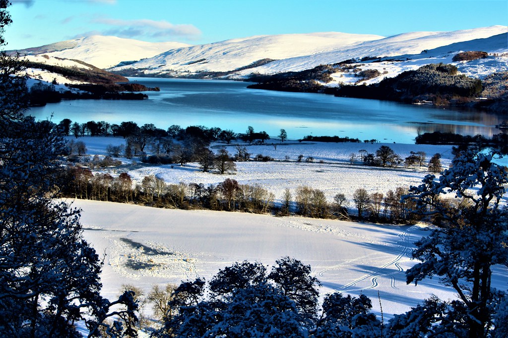
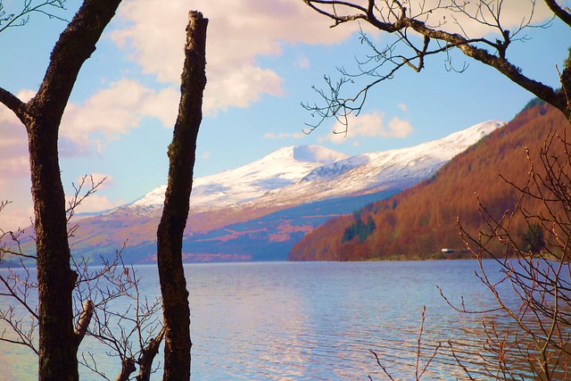
(Above image shows the southern part of Loch Tay from Killin in winter.)
This evening, I am posting information on Loch Tay, a freshwater lake in central Scotland being about two hours drive from each of Glasgow and Edinburgh.
Sightseeing and information on Loch Tay and environs:
- Onomatology: Tay is a very ancient name the precise meaning if which is not known.
- Length: 14.3 miles.
- Alignment: SW-NE.
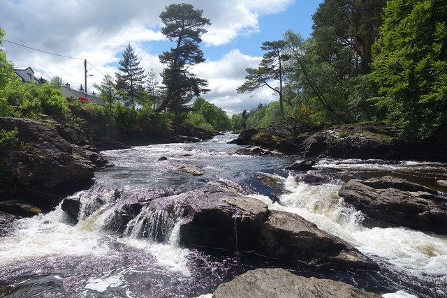
- Fed from the south by River Dochart which flows over the spectacular Falls of Dochart at Killin.
- At the north end the 'overflow' forms the River Tay which in turn forms Scotland's longest river system.
- The village of Kenmore is located at the north end. This is very vacation orientated with accommodation provided by the Kenmore Hotel (dating from 1502) and time shares.
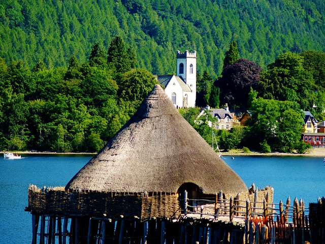
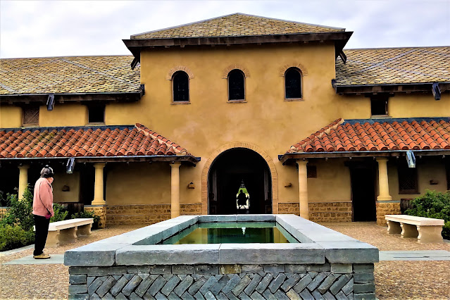
- Within walking distance of Kenmore is the Crannog Centre. This is a reconstructed Iron-Age high status building from about 2000 years ago.. Crannogs are unique to Scotland and Ireland with evidence of about 18 on Loch Tay.
- Just 2.5 miles south of Kenmore, on the south side of the loch,can be found the Falls of Acharn.
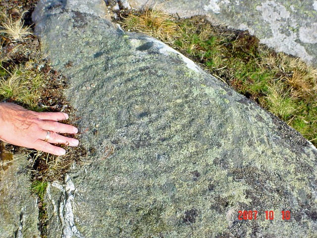
- On the northern side of the loch are mountains such as Ben Lawyers (3983 ft) and Beinn Ghlas (3619 ft.). ( Ben and Beinn both mean mountain in Gaelic.). On the lower slopes of the mountains on the north side can be found prehistoric 'cup and ring' carvings which may date back about 5000 years.
Kenmore Hotel

Crannog Centre with Kenmore in background.
Falls of Acharn
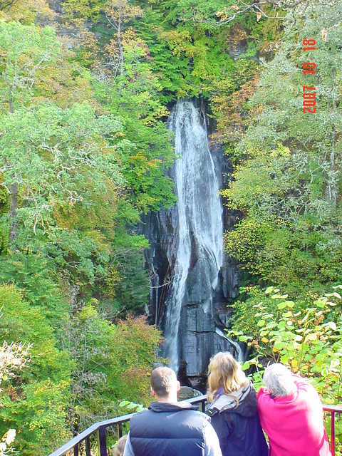
Falls of Dochart at Killin
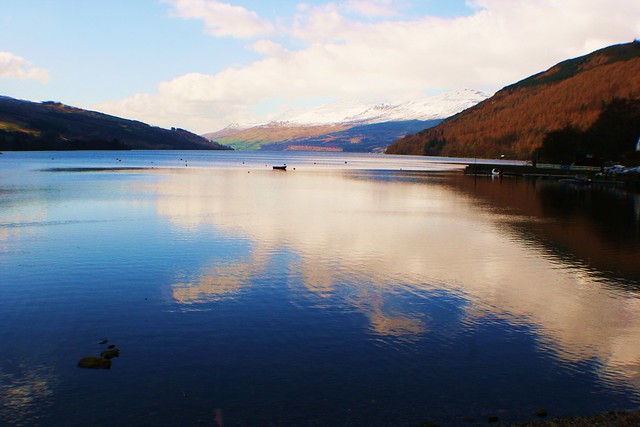
Ben Lawers viewed from Kenmore
Prehistoric 'cup and ring' carving


Comments
Post a Comment