Back Roads Drives, Scotland
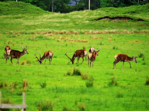
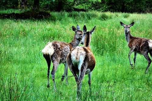
(Above image is a capture of Red Deer at Glen Etive.)
This evening, I am posting information on a selection of back roads tour routes in Scotland.
Visitors embarking on these trips should remember that most of the roads are single track with passing places. The object is to travel rather than arrive. Allow plenty of time assuming average speed of about 25-35 mph. There are usually opportunities for sightseeing and photography stops en-route. Ensure vehicle has plenty of fuel as petrol (gasoline) stations are infrequent.
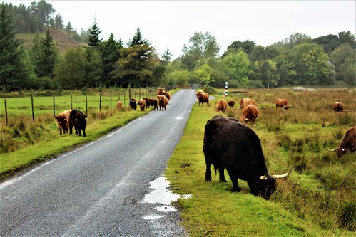
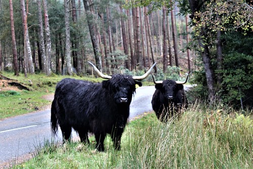
Invariably sheep and cattle are encountered on the roads. Treat the long-horned Highland cows with respect. These animals are usually passive (and very photogenic) but if too close an involuntary twitch of the animal's head can cause serious injury. Keep at least one human body length away from Highland cattle.
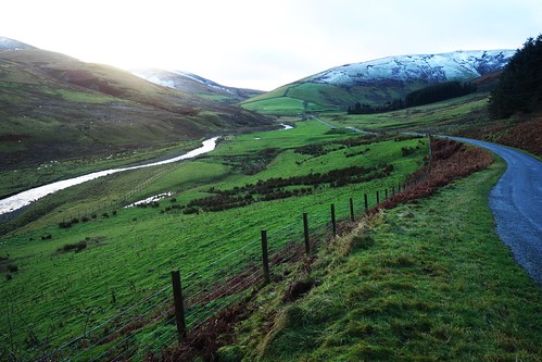
Glen Lyon, Perthshire
Commence Killin, a village at southern end of Loch Tay in central Scotland. At the southern end of Killin can be viewed the Falls of Dochart.

Depart Killin and drive north-east on the A827 for about 4 miles, Go past Milton Morenish and exit via sharp uphill left turn which connects with a narrow, single track road which skirts the south of Ben Lawyers, a mountain. Follow this road, passing Lochan na Lairige (reservoir) to Bridge of Balgie, a small village where a cafe operates in summer time.

After departing Bridge of Balgie keep right and track the River Lyon to the quaint village of Fortingall where, in the churchyard, can be found an ancient yew tree, possibly 3000 years old.


Continue in the same direction and connect with the B846 through to Weem and Aberfeldy and re-connect with the main A827 highway. If of interest look out for turn off, left, to Castle Menzies before entering Weem.
Castle Menzies, near Weem

Killin to Aberfeldy via the above route is about 35 miles, a trip which could take up to 2 hours.
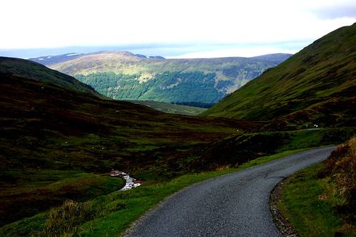
Scottish Borders
A hilly route, west from Hermitage Castle to link with the A7 highway. About thirty minutes driving time.
These image was taken during November, hence snow-capped hills.

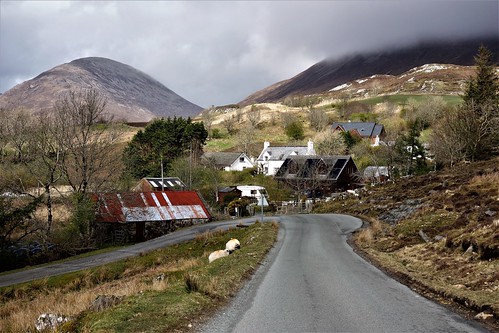
Isle of Mull
The Isle of Mull is located off the west coast of Scotland and is accessible by frequent ferry crossing from Oban.
There are two routes which are connected.
First, there is the thirty-five mile route from the ferry port of Craignure to Fionnphort with latter being an embarkation point for onward ferry crossing to Iona. This road is the A849.
Landscape View
Local scenery

Secondly, on the return trip, about halfway back from Fionnphort turn off left on the B8035 for a tour of Mull's dramatic west coast ultimately arriving at Tobermory on the N.E. tip of Mull.This trip will cover about fifty miles and take over two hours.
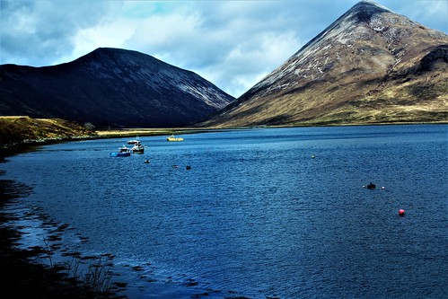
Loch na Keal

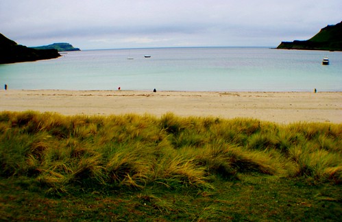
Elgol, Isle of Skye
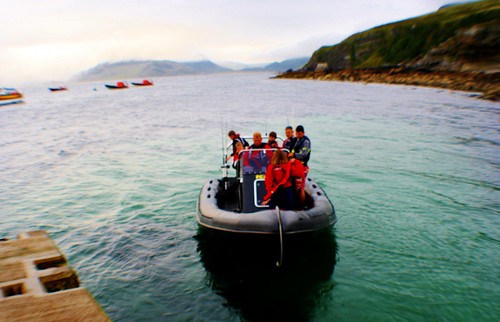
A twenty eight mile (approx.) round trip from Bradford on Skye to the small community of Elgol along the B8083. Subject to weather conditions, the latter offers good views towards the Cuillin Hills. Also boat trips are available from Elgol.
Scenery on road to Elgol
Bovine road hazard on road to Elgol

Boat trip from Elgol
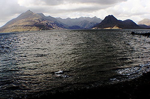
Cuillin Hills from Elgol
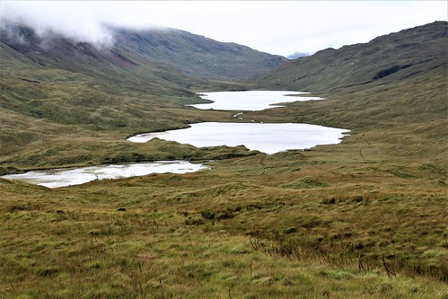
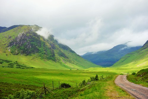
Glen Etive, Scottish Highlands
This entails around trip journey of about twenty-four miles along a narrow, single track road which runs south off the A82 near Kingshouse Hotel between Glencoe and Bridge of Orchy. Some of this landscape featured in the James bond film, Skyfall and hence attracts a large number of visitors, mainly in private cars. The trip benefits from rugged scenery, the fast running River Etive, occasional sightings of deer and the impressive Loch Etive (lake) at end of the road.
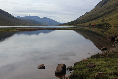
Loch Etive
River Etive

Red Deer

Glen Etive scenery
Glen Etive scenery

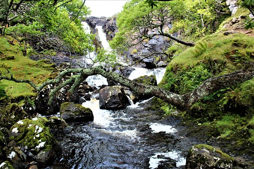
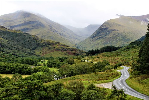
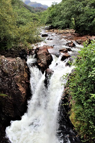
Glen Nevis
This entails a round trip of about eleven miles along a narrow road running south off the A82 from Fort William.There is excellent scenery (weather permitting) with possibility of encountering a small herd of free-roaming Highland Cattle.To the immediate north of the road is Ben Nevis, Britain's tallest mountain with height of 4413 feet. Near end of the road is a waterfall feature known as Lower Falls.
Landscape
Deer


Comments
Post a Comment