Hike Forth & Clyde Canal, West of Scotland

Today, taking advantage of the fourth consecutive day of an unusual run of dry and sunny days I undertook a five mile hike from Clydebank to Maryhill, Glasgow, along the banks of the Forth & Clyde Canal.
Background information on the canal
- The Forth & Clyde Canal was completed in 1790, linking the east and west coasts of Scotland between Grangemouth and Bowling covering a distance of 35 miles.This was during the early industrial period when roads were poor and railways had yet to dominate the transport scene.
- For part of it’s route, the canal follows the line of the 2nd century AD Antonine Wall built by the Romans.
- Along the canal are 39 locks and the 123m long, Kelvin Aqueduct.
- The canal originally served the iron, chemical, timber, boat building and coal industries.
- The canal was closed to navigation in 1963 but re-opened in 2001. It is now principally a leisure resource.
Along the way i was fortunate to encounter: the Maryhill Lock Basin, River Kelvin, watery reflections, a houseboat, tufted ducks,a couple friendly locals, an angler, numerous locks, a couple of friendly bulldogs, a swan, floating restaurant and a busker. Overall, an excellent trip.
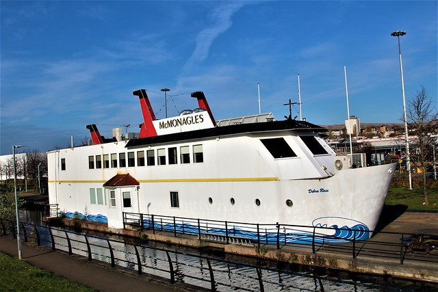
Floating restaurant at Clydebank
Kilpatrick Hills in distance were formed 340m years ago from basaltic lava flows

Swan

Friendly bulldogs

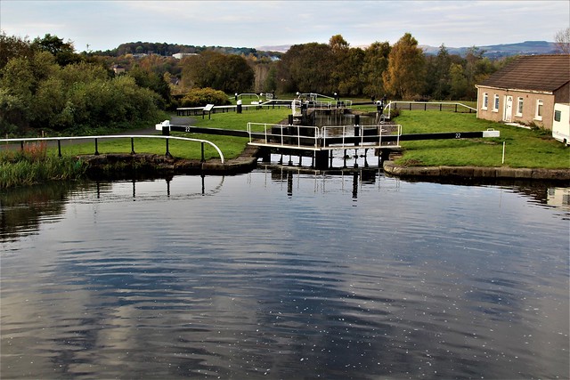
Locks (not lochs)

Canal

Angler

Friendly locals

Tufted Ducks

Occupied Houseboat

Watery reflections

River Kelvin

Maryhill Lock Basin, 156 feet above sea level


Comments
Post a Comment