Hike around Inverkip, West of Scotland
This evening, I am providing a photographic record of today's small group hike in and around Inverkip.

Inverkip is situated about thirty miles west of Glasgow on the eastern shore of the Firth of Clyde. The Firth of Clyde is a bay or estuary where the River Clyde empties into the Irish Sea and ultimately the Atlantic Ocean.

Sub-tropical vegetation. This phenomenon is due to the influence of the warm ocean current known as the Gulf Stream. Glasgow is 56 degrees north, the same as parts of Canada. Without the Gulf Stream we would have a far harsher climate.
Inverkip is best known for its yachting marina. The name is an amalgam of two origins, viz:
- Inver = creek or river mouth
- Kip = block-like landscape.
The route covered 12 km or about 7.5 miles.

Hiking group

Heather in bloom. Heather is a symbol of Scotland.

Rustic scene. The brown and white cow is probably of the Ayrshire breed and well known for milk production.

Equine scene. This horse is well protected (over protected?) against the vagaries of the Scottish weather.
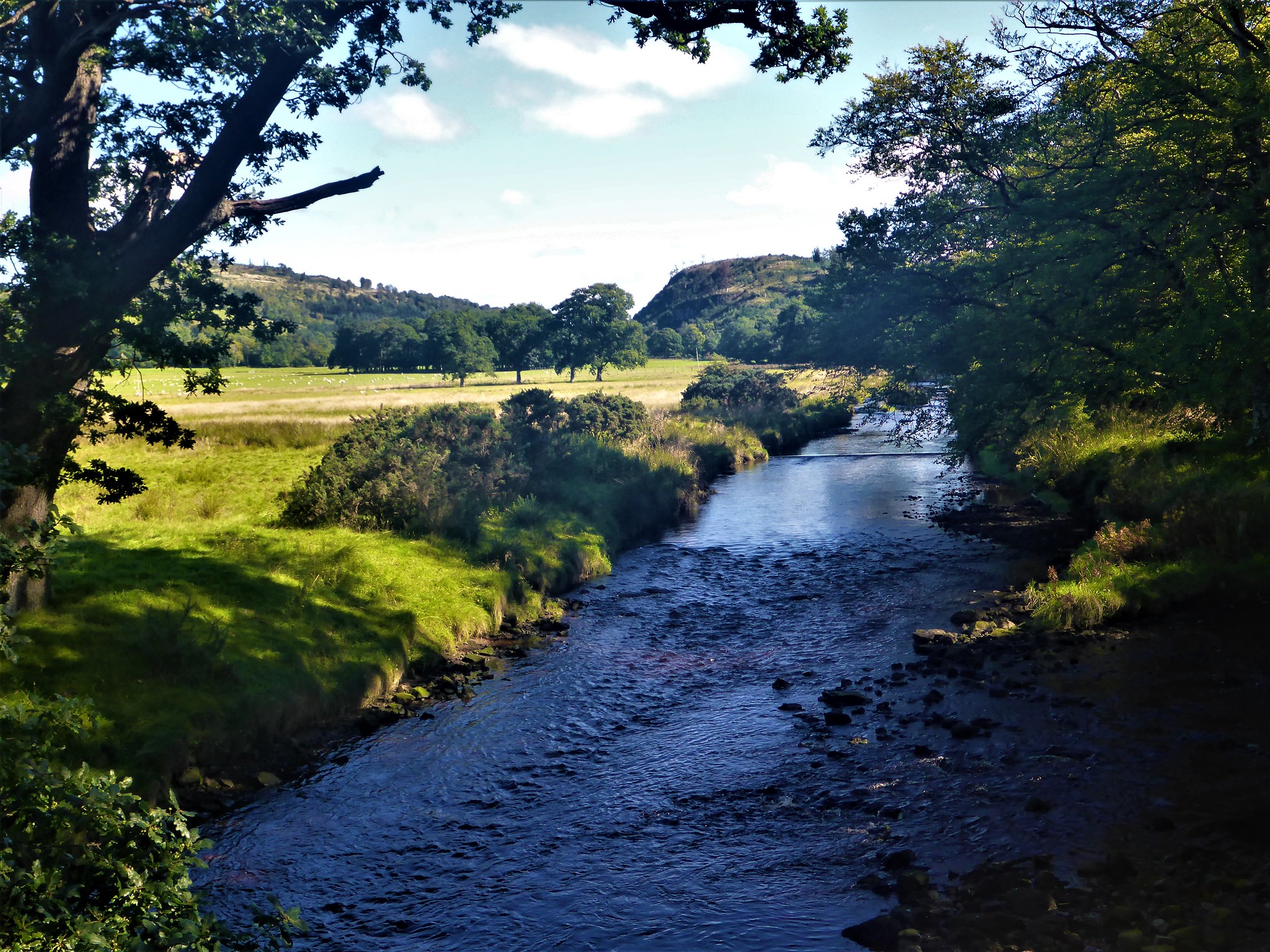
This is probably the River Kip

Pebble art. Increasingly popular in Scotland.
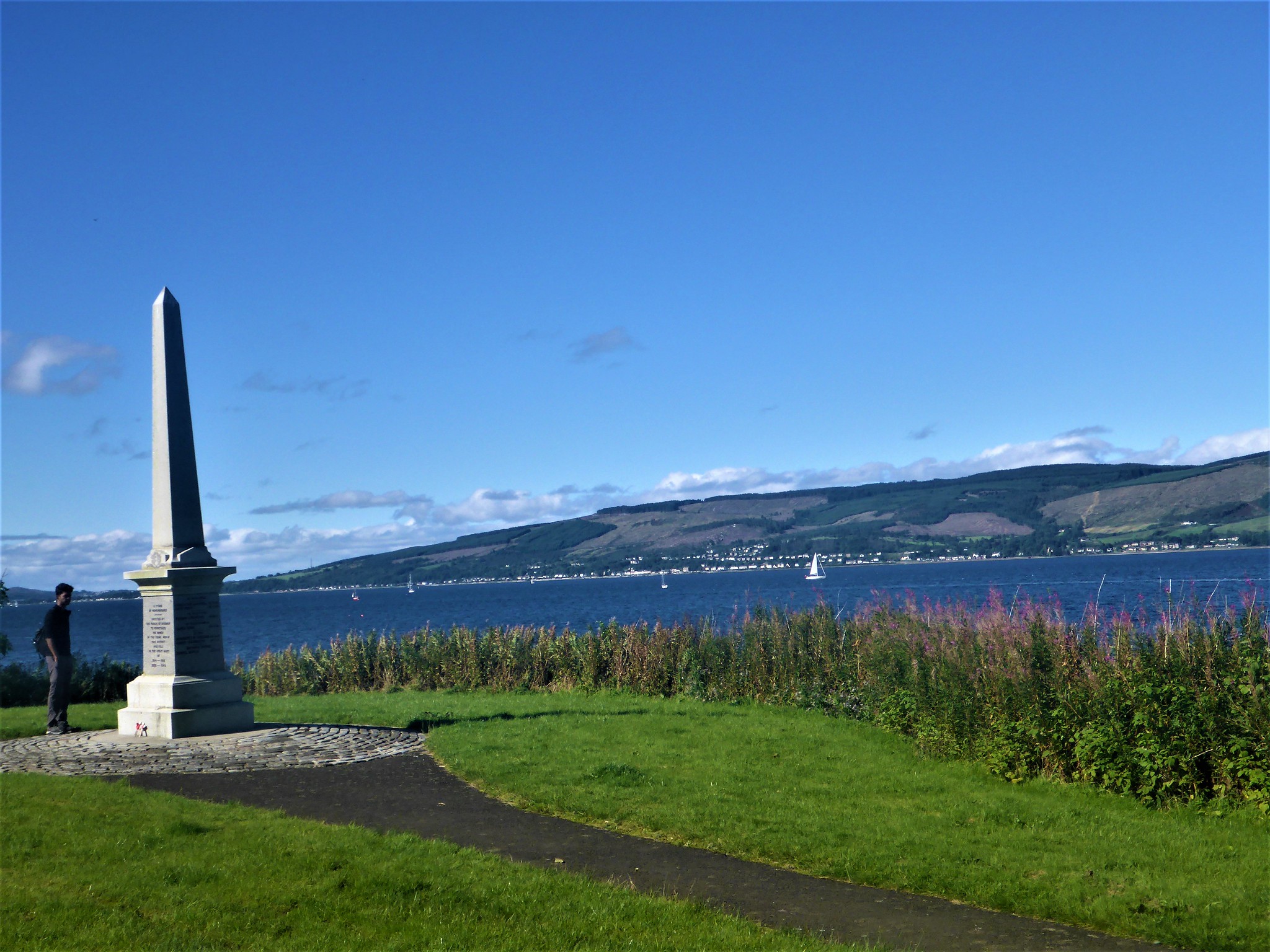
War memorial set against background of Firth of Clyde

Friendly local collie dog who came from nowhere and 'adopted' the hiking group.
Overall, a rewarding experience in very favourable weather conditions.


Comments
Post a Comment