Dams to Darnley: A photo inspired hike through a Scottish country park
Aspect of reservoir
Today, my wife and I undertook a seven mile (11km) walk around the Dams to Darnley Country Park in S.W. Glasgow. The Park reaches an elevation of 300ft and thus offers good views over the Glasgow conurbation and beyond.
View of Glasgow with Campsie Fells (hills) and Kilpatrick Hills in distance.
We passed through the suburb of Barrhead and viewed Duncarnock (or ‘Craigie) Iron Age hillfort (about 2000 years old) in the medium distance.Remains of the fort (defended settlement) sit atop the hill illustrated below.
Weather and visibility was ideal for autumnal photography. Brilliant sunshine was augmented by mild temperatures, negligible wind and no precipitation. Subjects included:
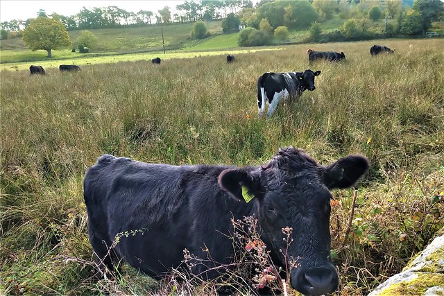
- Cattle
- Glasgow and associated landscape.
- Late flowering plants.
- A waterfall.
- A magnificent display of fungi.
- An ancient gorge.
- Reservoirs and a burn (stream).
- Evidence of past industrial activity.
Daisies
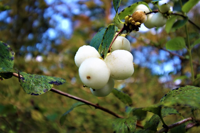
Flower with insect. Click on image to enhance view of insect.Wild Snowberry
WaterfallMagnificent fungi display
Deep gorge which was probably carved out by melting glaciers about 10,000 years ago. Depth covers entire length of image.
Former lime and fireclay works. Possibly 19th century or earlier.The park extends to 1350 acres comprises a number of reservoirs plus woodlands and farmland. Today the park is used for such recreational facilities as hiking, cycling, nature watching and fishing. However, today’s pleasant and benign environment belies extensive industrial activity from the late 1700s onwards which includes:
- Limestone quarries and associated infrastructure.
- A corn mill.
- Lime and fireclay works.
- Bleachfields.
The ready availability of cheap waterpower was influential in development of the above activities, traces of which still remain.
More images below.
For more information on Scotland please refer Visitors' Guide to Scotland, ISBN 978-1-9161332-0-4


Comments
Post a Comment