The Burren, Ireland: A geologically important landscape upon which is a Neolithic Portal Tomb
Tonight, I am reporting on the Burren, an important site in mid-west Ireland which is famous for a prehistoric monument and the local geology.
Location is County Clare
is a county in the Mid-West Region of the Ireland and the province of
Munster, bordered on the west by the Atlantic Ocean.
Prehistory
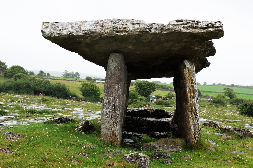 Poulnabrone Portal Tomb, Burren
The Poulnabrone Portal Tomb is a type of structure which is also known as a Dolmen.Such can be defined as a megalithic tomb with a large flat stone laid on upright ones,. These structures are found chiefly in Britain and France.
The tomb which may date back about 6000 years and is one of 90 megalithic tombs in the Burren region. This tomb is situated on a karst limiestone plateau 150 meters above sea level. Here archaeologists have discovered the remains of 22 people the bones of which have been analysed in detail to provide insight into life and death during the Neolithic period.
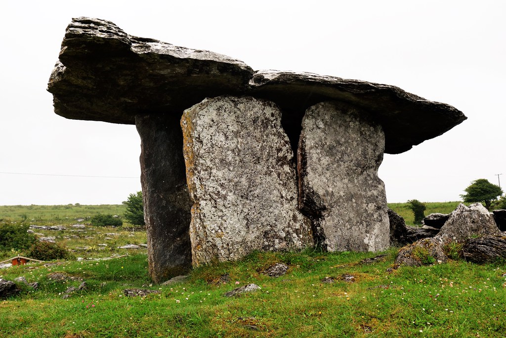 Side elevation of Poulnabrone Portal Tomb, Ireland
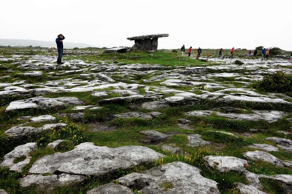 Poulnabrone in context of karst landscape
Geology
(Following information sourced from the Burren National Park website.)
The Burren is underlain by limestones of the Lower Carboniferous (Visean) period. The limestone formed as sediments in a tropical sea which covered most of Ireland approximately 350 million years ago. These sediments were compressed into horizontal strata and contain fossil corals, sea urchins, sea-lilies (crinnoids) and ammonites. The limestones within the Park belong to the asbian stage of the Burren Formation
Much of the limestone that underlies the Park was once covered by further layers of limestone and capping of Namurian Shale
The Burren is one of the finest examples of a Glacio-Karst landscape in the world. At least two glacial advances are known in the Burren area. However, it is probably the effects of the last glaciation (the Midlandian) that are most in evidence in the National Park. It is thought that most of the Burren was overrun by ice during this glaciation.
The ice that covered the Burren during this period eroded any remaining shales off the Park and helped to give the hills their rounded shape.
The effects of earlier solutional erosion (karstification) have been obliterated by the last ice age, so the karstification of the present day Burren has only been occurring since the last ice age approximately 10,000 years ago. The Burren Karst therefore is relatively modern compared with Karst from Eastern Europe.
Definition of Karst:Landscape underlain by limestone which has been eroded by dissolution, producing ridges, towers, fissures, sinkholes and other characteristic landforms.


Comments
Post a Comment