Drumburgh Castle
 Decoration above entrance to Drumburgh Castle
This evening, I am posting information on an interesting castle located on the English side of the Solway Firth border with Scotland, about ten miles west of Carlisle.
The Solway Firth is a firth (bay or estuary) that forms part of the border between England and Scotland, between Cumbria and Dumfries and Galloway. It stretches from St Bees Head, just south of Whitehaven in Cumbria, to the Mull of Galloway, on the western end of Dumfries and Galloway. It’s the third largest estuary in the UK and is a Special Area of Conservation, comprised of coastal dunes, salt marshes, raised mires and agricultural land.
 .View of Solway Firth, from England towards Scotland
This castle is, technically, a 'bastle' or fortified farmhouse which was built around 1307. Important aspects:
- The building was fortified because the period between the 14th and 17th centuries was lawless in the Borders region and the occupants were forced to defend themselves against raiders (or reivers) from Scotland who could reach the English shore via a sand 'wath' at low tide. This type of fortification has echoes of the Pele Tower in Haltwhistle
- Notwithstanding, the paucity of building materials in the region, the castle is actually built of red sandstone. This is because the property is built on the site of a Roman fortlet linked to the 2nd century AD Hadrian's Wall frontier and the builders simply re-used the stone work.
- Many visitors encounter this castle (which is not open to the public) in course of navigating the Hadrian's Wall Path.
 Entrance to Drumburgh Castle, Soolway Firth,
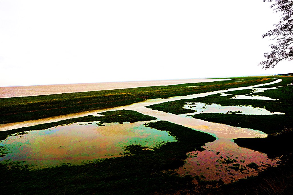 Solway Firth near Drumburgh Castle
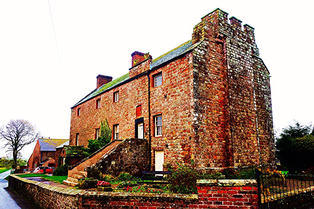 Drumburgh Castle, Solway Firth, Cumbria
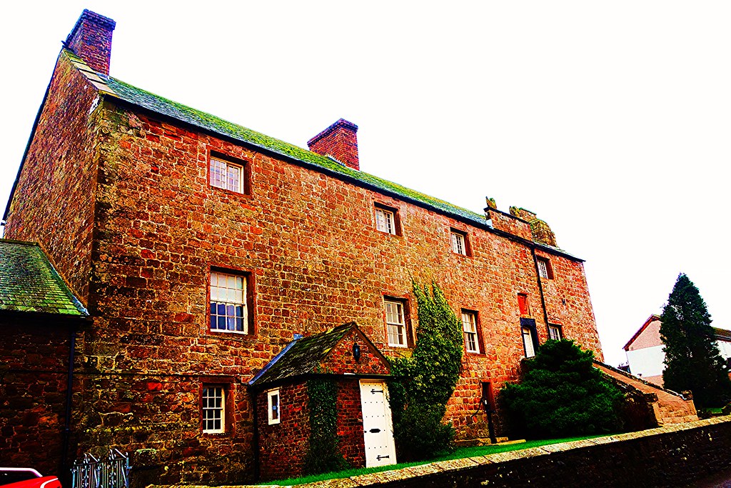 Drumburgh Castle, Solway Firth

Comments
Post a Comment