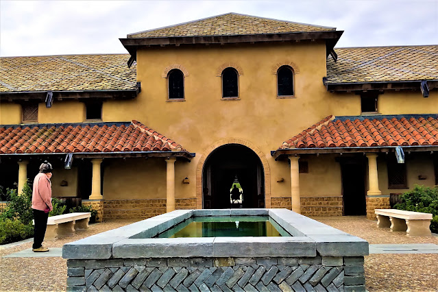
Dumbarton Rock, Scotland
Introduction
This evening I am reporting on yesterday's trip to Dumbarton Rock on the Firth of Clyde. Location is about 20 miles NW of Glasgow.
Information on the trip to Dumbarton Rock
We aligned our visit to coincide with predicted good weather, which, thankfully, proved accurate.This facilitated some useful landscape photography which benefited from the high elevation (250 ft ) platforms.
This site is sometimes known at Dumbarton Castle.However the ancient volcanic geology lends itself to defence, latterly a cannon platform, and hence the site is devoid of conventional castle defences with thick masonry walls and towers.
The site has a 1600 year history as a power base and military function which I will elaborate on tomorrow.
View north with the town of Dumbarton in the foreground and famous Ben Lomond (mountain) in the distance.The moorings and defunct shipyards point to a history of shipbuilding in the past.This harbour links with the river Clyde and, ultimately, the Atlantic Ocean.
Looking west with Port Glasgow and Greenock on opposite bank.
Looking east on ebbing tide with Glasgow in the far distance.
These tiny flowers eke out a living on the top, rocky surface. They seem to fall within the definition of 'Alpine' but I have drawn a blank on the web so far.
Merchant ship slowly moving towards Glasgow.
Another view of the incoming ship
Dumbarton Harbour's link with the main, Clyde waterway.
Video clip of River Clyde from Dumbarton Rock
More information
Information on Scotland’s Clyde Coast, Glasgow and industrial history can be found in the Visitors’ Guide to Scotland. ISBN is 978-1-9161332-0-4. The book is also available via Kindle.


Comments
Post a Comment