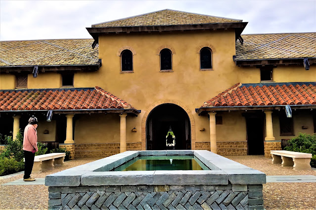
Carvoran Roman Fort on Hadrian's Wall
Hadrian's Wall near Carvoran (Now reduced to about 6 ft in height the Wall may have originally been constructed to a height of 15 ft.)
Once built, Hadrian's Wall boasted 80 milecastles, numerous observation towers and 17 larger forts. Punctuating every stretch of Wall between the milecastles were two towers so that observation points were created at every third of a mile.
Today, I travelled down from Glasgow (Scotland) to visit Carvoran which is one of the 17 larger forts adverted to above. Carvoran is situated close to the Roman Army Museum, a visitor attraction located about 20 miles east of Carlisle in NW England.
I was attracted to this site following media reports of authorisation of excavation work, which will entail a five year project under the auspices of experts from nearby Vindolanda. Whilst spadework has only just commenced I was able to vastly improve my knowledge of the fort from the excellent tour guide at the site.
In essence Carvoran was clearly of strategic importance as it formed part of the original pre-Wall 'open' frontier and was located at the junction of two important Roman roads. Unlike most of the principal forts on the Wall Carvoran is not integrated within the Wall infrastructure but sits a short distance behind it. (The Romans did not hind behind walls but preferred to take on the enemy on open ground.)
Above plan illustrates the location of Carvoran (also known as Magna) relative to Hadrian's Wall.It is not clear why the vallum (a series of defensive ditches) took a U turn north of the fort. One line of thought is that there may have been some sort of pond/lake /reservoir (between the fort and vallum) which acted as an important water source for the considerable military garrison and civilian support community at and near the fort.
To date, and despite the extensive size of the fort, there have been just three tangible 'finds' as shown below.
Bathhouse, a standard facility in Roman garrisons. Apparently, in excellent condition when first discovered it has now been lost.
A bronze receptacle for measuring grain.
Exposed base of a turret.
More images
Early stage excavation work
Hikers navigating the Hadrian's Wall Path in heavy rain.
Fort boundary
View of the modern Stanegate Road (which has Roman origins)
Hadrian's Wall and Stanegate looking west from near Carvoran
Looking forward to visiting more Roman sites in the next day or so.


Comments
Post a Comment