Group Hike along Hadrian's Wall

Hiking Group
This evening, I am posting selected images taken during a small group hike (June) along the line of Hadrian’s Wall in northern England where the village of Chollerford, near Chesters Roman Fort, was used as a base.
Background on Hadrian’s Wall
The Wall was built during the approximate period AD122- 138 and originally extended for 80 Roman miles (73 British miles) in a line from/to the modern English towns of Maryport and Wallsend. The Emperor Hadrian was unusual in that he consolidated the Empire, no doubt driven by the military and economic imperatives of managing an ever-expanding empire in context of hostile tribes to the north of the Wall. Here are some key statistics and information:
- The Wall stretched for 74 miles and was 15 feet high and 10 feet wide.
- Building commenced around AD 122-125.
- It was (and remains) a magnificent feat of engineering comprising 18 million specially prepared blocks of stone, most of which was sourced locally.
- A fort was built at seven mile intervals. There were 17 major forts of which Housesteads is a famous example. Such forts held about 400 people.
- Castles were built at 1 mile intervals, but not always in a logical place relative to the local terrain. Clearly, there was rigid adherence to the design.
- It is estimated that 10,000 soldiers were assigned to constructing the Wall with each Century allocated a specific portion to construct.
- The Wall was constructed by the 2nd, 6th and 20th legions aided by auxiliaries. It acted as an imposing frontier for about 300 years.
- The Wall is now a World Heritage Site.
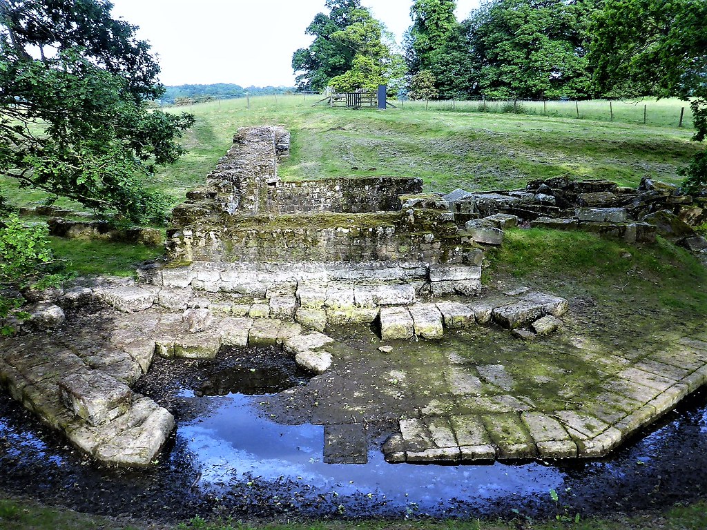
Abutment to Roman Bridge over North Tyne at Chesters Roman Fort
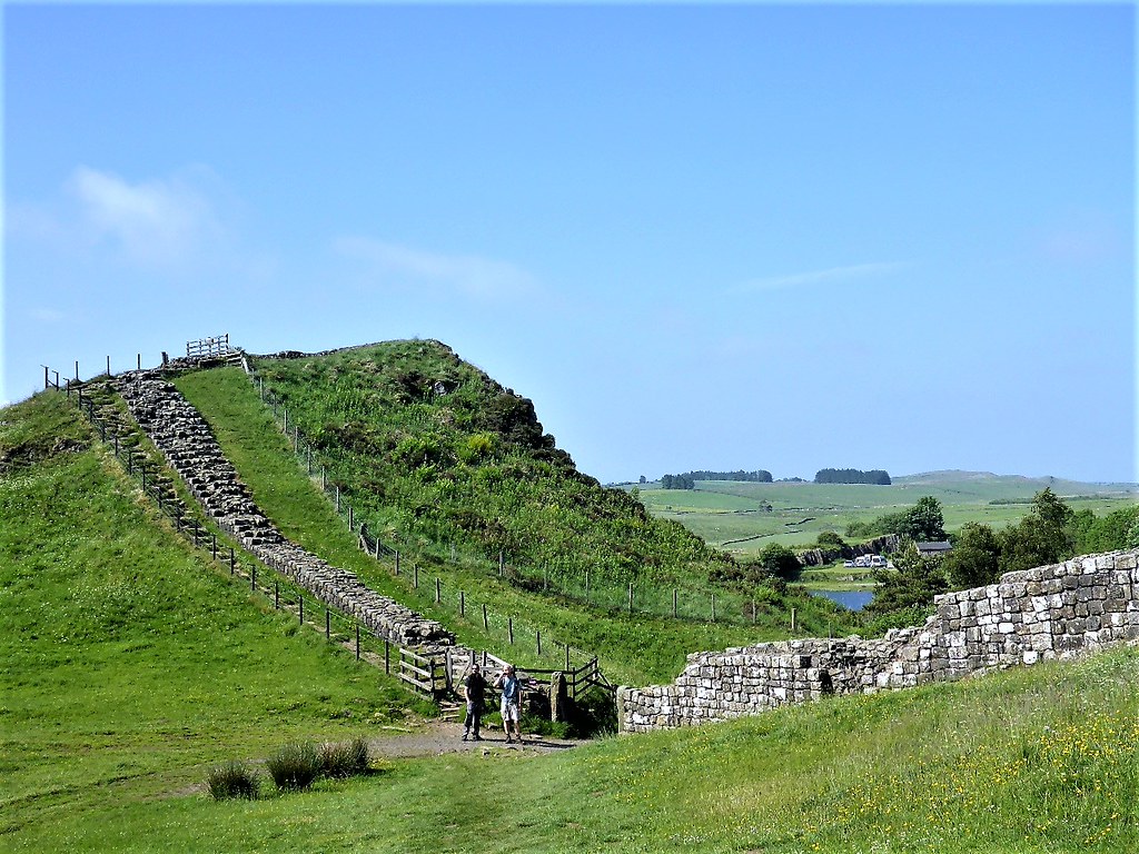
Section of Wall
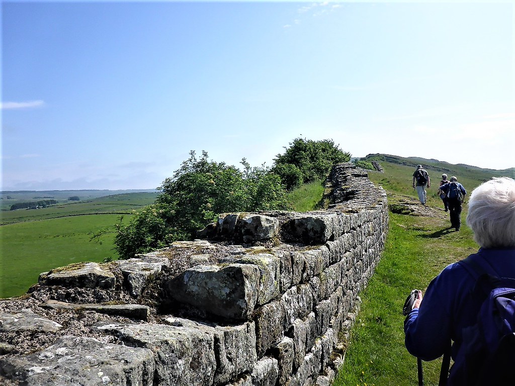
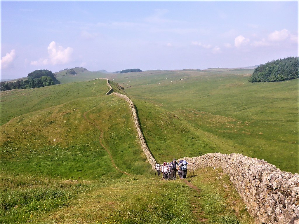
Walking the Wall
Hadrian’s Wall landscape

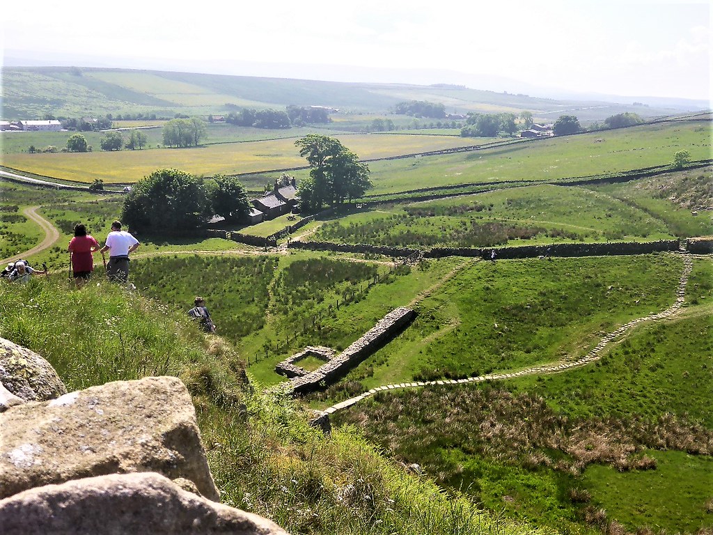
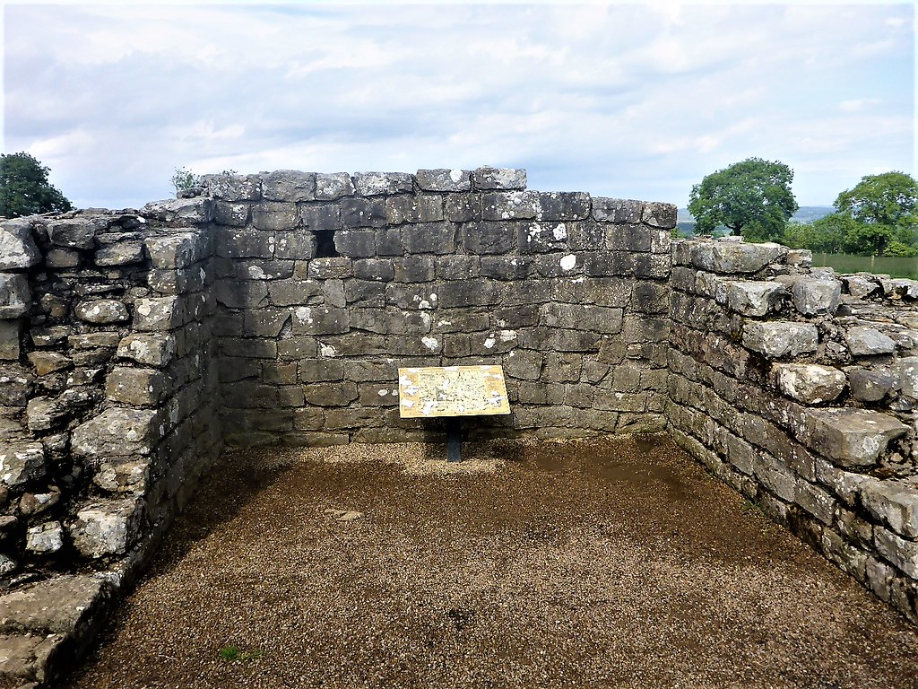
Milecastle
Section of Hadrian’s Wall

Flora

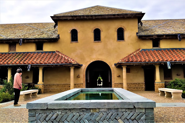
Temple of Mithras, Carrawburgh
Black Carts Turret


Comments
Post a Comment