Cycle Hadrian's Wall Path, England

(Above image shows wildflowers at Grinsdale)
This evening, I am reprising a cycle ride along a western section of Hadrian's Wall in northern England.
Today was characterised by cloud, westerly winds and intermittent light rain. Not ideal cycling conditions,but tomorrow is forecast to be worse!
We departed our Carlisle lodgings after breakfast and then navigated out of the city, initially connecting with the River Eden and then west, following the line of Hadrian’s Wall out of Carlisle’s industrial area with initial stop at the village of Grinsdale where we visited the tiny church which has been decommissioned for worship purposes and is now for sale.
River Eden at Grinsdale

Grinsdale Church

In contrast to sections of Hadrian’s Wall east of Carlisle, only traces of the Wall exist in the eastern section although some of the masonry from the Wall and fortifications has been incorporated in churches which we visited.
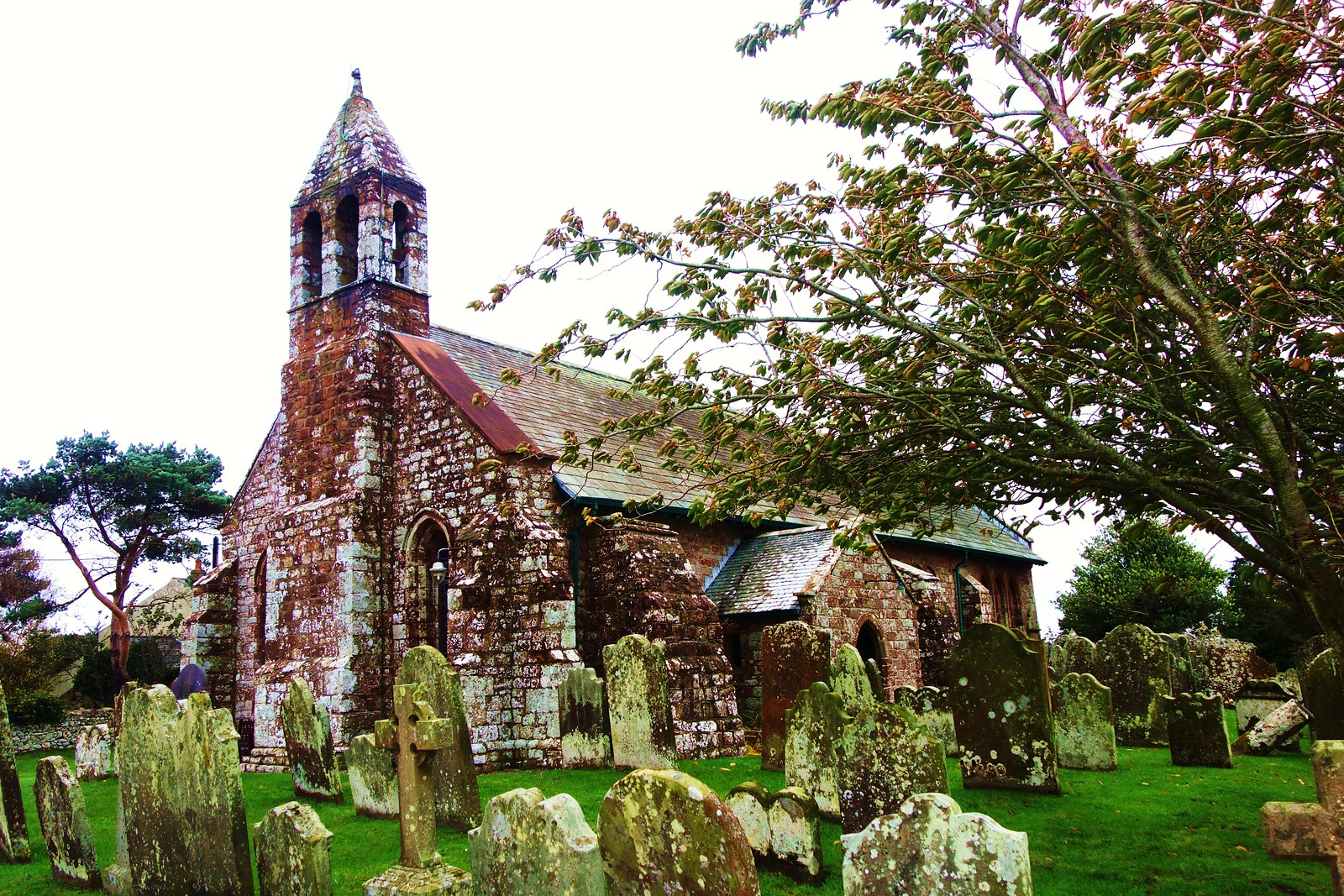
After continuing west for about an hour (into the teeth of the westerly wind) we stopped to visit St Michael’s Church in the large village of Burgh-by-Sands. This church is actually built on the site of the Roman fort of Aballava and stones from the fort site were used in every stage of the church’s construction. Note in particular the image of a criss-cross stone which almost certainly was sourced from the fort. Note also the impressive fortified bell tower built at the western end of the church as a sanctuary from Scots raiders during troubled times of the 14th century. This church is in excellent condition, having been heavily restored in recent times with benefit of lottery and other grant funding and welcomes visitors.
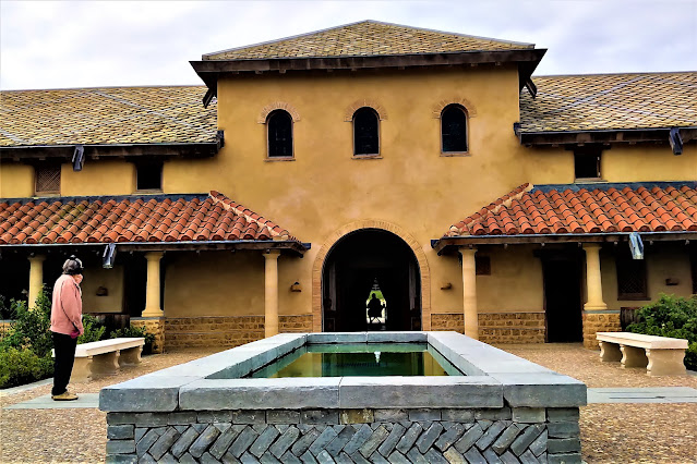
Illustration of Roman Fort

Roman period dressed stone

St Michael’s Church

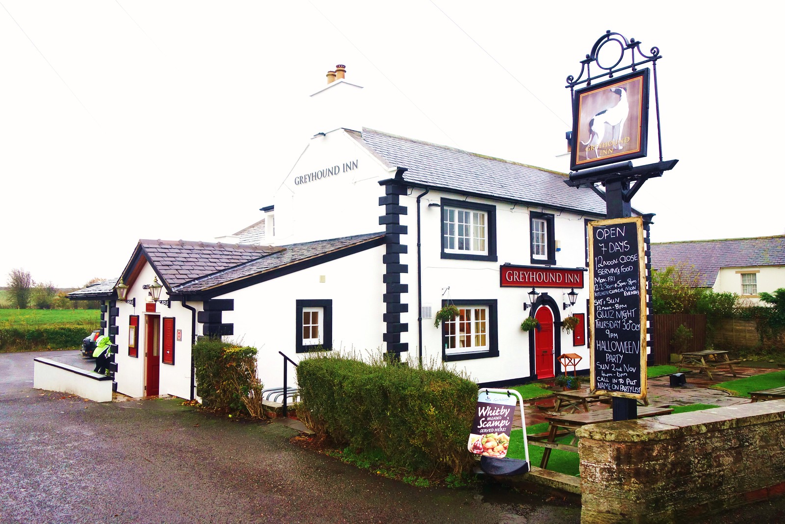
Next, we had lunch in the Greyhound Pub in the village of Burgh-on-Sands.
After lunch we continued west across an increasingly rural and open landscape with views of the Solway Firth ( bay or estuary) through which runs the border between England and Scotland. In fact, the road along which we cycled is subject to tidal inundation up to three feet in depth at high tide.
Next, we continued west stopping for views of the Solway Firth and to obtain images of Drumburgh Castle, an impressive fortified house from 1307 when it was constructed using stone from a local Roman fortlet.
Solway Firth near Drumburgh

Drumburgh Castle

Next, we continued to Port Carlisle, very close to the edge of the Firth and finally to our destination of Bowness on Solway, a large village which marks the western end of Hadrian’s Wall.Here we visited St Michael’s Church which was built in the 13th century from stone salvaged from the former Roman fort Maia, the site of which Bowness now occupies.
Tonight, we dined at local pub, the King’s Head.
Overall, we covered a distance of about nineteen miles today.


Comments
Post a Comment